CASA licensed · $20M public liability insuredByron Bay · Northern Rivers · Australia-wide
Professional aerial intelligence

See the whole picture.

High-resolution drone capture for construction, mapping, inspections, property and screen—delivered by a local, licensed operator who understands the technical brief.

CASALicensed operator
$20MPublic liability
15+ yearsDrone experience
Australia-wideProject coverage
Capabilities

Capture built around the outcome.

From one cinematic reveal to a measurable site record, every flight is planned around what you need to see, prove or communicate.

01 / AERIAL

Photography & film

Polished aerial stills and cinematic footage for property, tourism, brands, events and documentary productions.

Discuss a shoot →
02 / TECHNICAL

Mapping & modelling

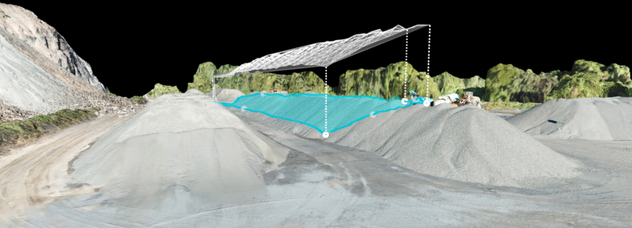
Orthomosaics, terrain models, stockpile measurement and photogrammetry for civil, environmental and construction teams.

Map your site →
03 / CONSTRUCTION

Inspection & documentation

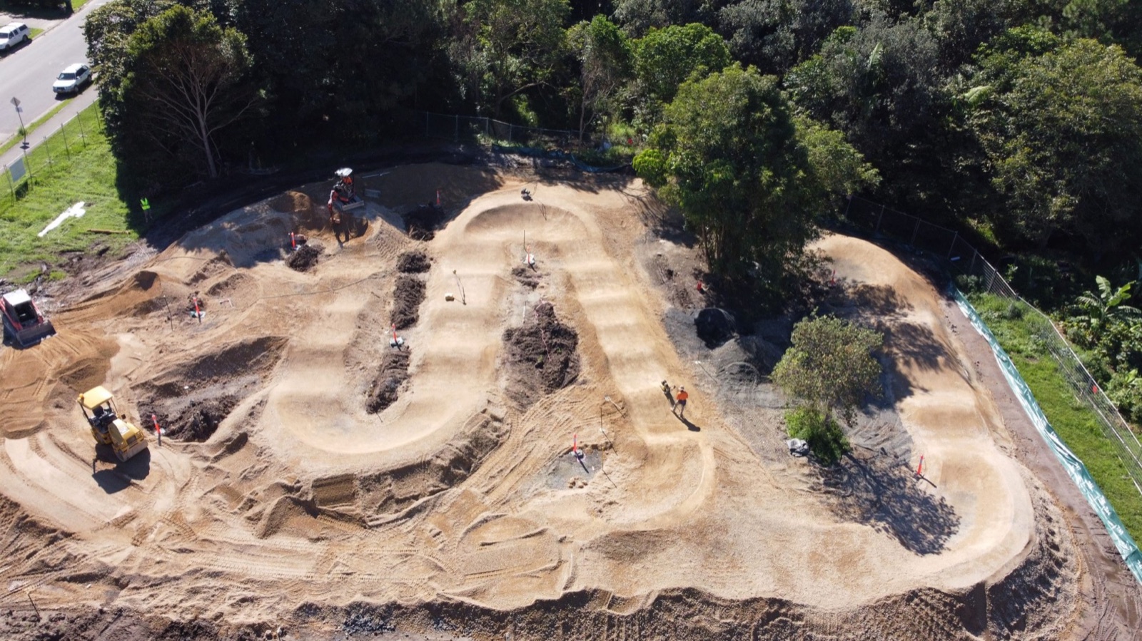
Repeatable progress capture, difficult-access inspections and permanent spatial records, with KYBOS 3D scanning available.

See the partnership →
Philippe Soria operating a professional drone
Technical by nature. Creative by practice.

Local knowledge. Engineering discipline.

Byron Bay Drone is owned and operated by Philippe Soria, an experienced professional drone pilot with an engineering degree in optoelectronics. Philippe combines safe, compliant flight operations with a practical understanding of imagery, mapping and client deliverables.

RePL 1096572 · CASA ARN 1096572 · $20M public liability insurance.

Selected work

From coastlines to construction sites.

View all projects →
Have a site in mind?

Let’s scope the right capture.

Tell us where the project is, what you need delivered and when you need it. We’ll come back with a practical flight and capture plan.

Request a quote